
UK & Ireland maps
Browse our range of maps for the best and most popular outdoor areas in the UK and Ireland.
All of the maps are tough, light and waterproof and ready for your next adventure.
-

Arran including Arran Coastal Way
£15.50 -
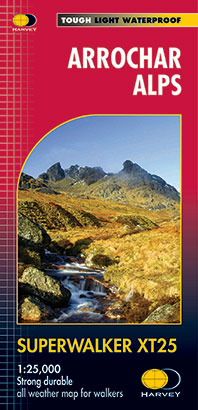
Arrochar Alps
£15.50 -

Arrochar Alps
£11.50 -

Ben Lawers & Schiehallion
£11.50 -
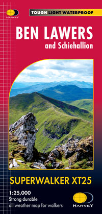
Ben Lawers and Schiehallion
£15.50 -
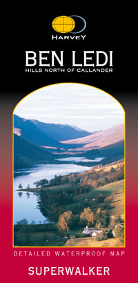
Ben Ledi & Hills North of Callander
£11.50 -

Ben Venue: Loch Ard Forest & The Trossachs
£11.50 -
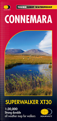
Connemara
£15.50 -

Crieff & Comrie, Doune, Dunblane
£15.50 -
Crieff & Comrie, Doune, Dunblane
£11.50 -
Dingle Peninsula including Dingle Way
£15.50 -

Galloway Hills
£15.50 -

Ireland & Northern Ireland map set
£67.50 -
Isle of Man
£15.50 -

Jura
£15.50 -

Loch Earn, Glen Ogle & Killin
£11.50 -
Loch Lomond & the Trossachs
£11.50 -

Loch Lomond & the Trossachs map set
£27.00 -

Loch Lomond & the Trossachs map set
£20.00 -
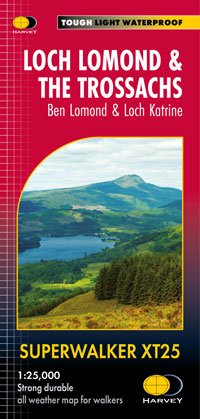
Loch Lomond & the Trossachs, Ben Lomond & Loch Katrine
£15.50 -
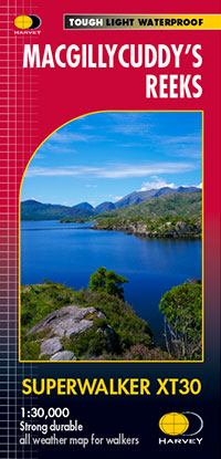
MacGillycuddy’s Reeks
£15.50 -

Mull, Iona and Ulva
£16.95 -
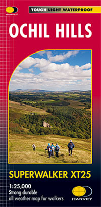
Ochil Hills
£15.50 -

Ochil Hills
£11.50 -
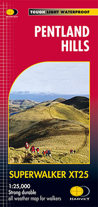
Pentland Hills
£13.18