
Walking Maps
Our range of classic sheet-style walking maps includes British Mountain Maps (1:40,000 scale), Superwalker maps (1:25,000 scale) and the pocket-perfect Ultramap (1:40,000 scale).
Trail Maps cover all the popular National Trails, Scotland’s Great Trails and other long distance walking routes in the UK (typically shown at 1:40,000 scale) with many of the routes requiring just a single map to cover start to finish.
If you are unsure where to begin and need some help then try our Interactive Map Finder or learn more about each map series here.
-
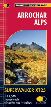
Arrochar Alps
£15.50 -
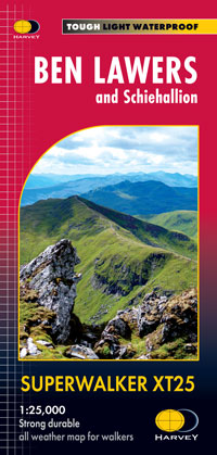
Ben Lawers and Schiehallion
£15.50 -
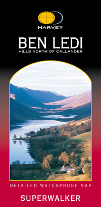
Ben Ledi & Hills North of Callander
£11.50 -

Ben Venue: Loch Ard Forest & The Trossachs
£11.50 -

Crieff & Comrie, Doune, Dunblane
£15.50 -

Galloway Hills
£15.50 -

Ireland & Northern Ireland map set
£67.50 -

Loch Lomond & the Trossachs map set
£27.00 -
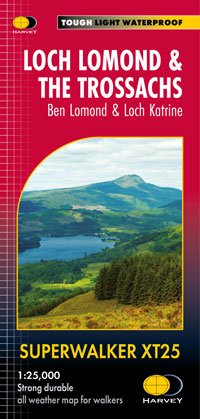
Loch Lomond & the Trossachs, Ben Lomond & Loch Katrine
£15.50 -

Mourne Mountains
£15.50 -
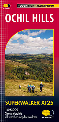
Ochil Hills
£15.50 -
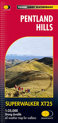
Pentland Hills
£13.18 -
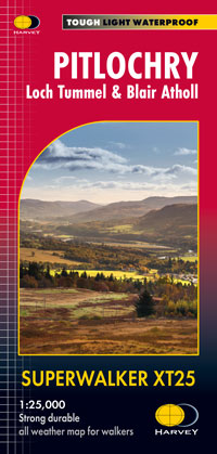
Pitlochry: Loch Tummel & Blair Atholl
£15.50 -

Superwalker XT – The Complete Collection
£495.00 -
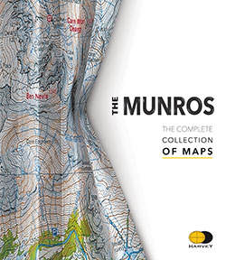
The Munros, The Complete Collection of Maps
£35.00 -
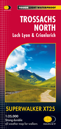
Trossachs North, Loch Lyon & Crianlarich
£15.50 -
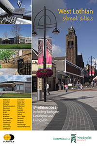
West Lothian Street Atlas
£6.95