
UK & Ireland maps
Browse our range of maps for the best and most popular outdoor areas in the UK and Ireland.
All of the maps are tough, light and waterproof and ready for your next adventure.
-

3 Peaks Challenge map set
£37.00 -

Arran including Arran Coastal Way
£15.50 -
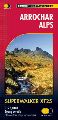
Arrochar Alps
£15.50 -
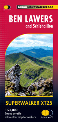
Ben Lawers and Schiehallion
£15.50 -
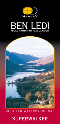
Ben Ledi & Hills North of Callander
£11.50 -

Ben Venue: Loch Ard Forest & The Trossachs
£11.50 -
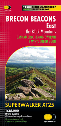
Brecon Beacons East
£15.50 -

Brecon Beacons map set
£27.00 -
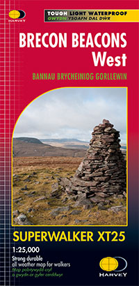
Brecon Beacons West
£15.50 -

Clackmannan Walking & Cycling map
£4.95 -

Crieff & Comrie, Doune, Dunblane
£15.50 -

Galloway Hills
£15.50 -

Jura
£15.50 -

Loch Lomond & the Trossachs map set
£27.00 -
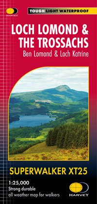
Loch Lomond & the Trossachs, Ben Lomond & Loch Katrine
£15.50 -

Mull, Iona and Ulva
£16.95 -
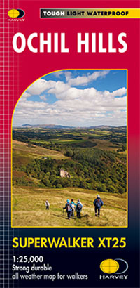
Ochil Hills
£15.50 -
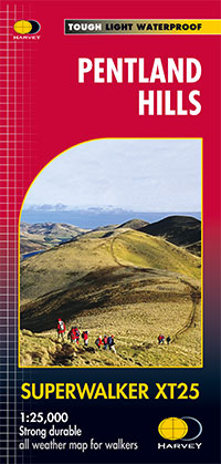
Pentland Hills
£13.18 -
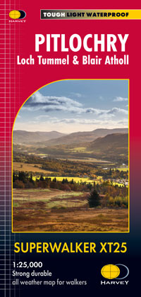
Pitlochry: Loch Tummel & Blair Atholl
£15.50 -
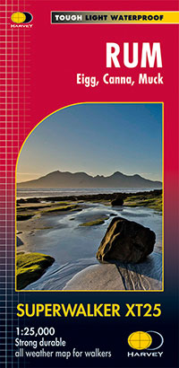
Rum, Eigg, Canna, Muck
£15.50 -

Scottish Islands map set
£54.00 -

Skye map set
£27.00 -
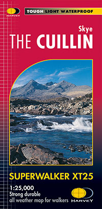
Skye The Cuillin
£15.50 -

Skye Trotternish
£15.50 -
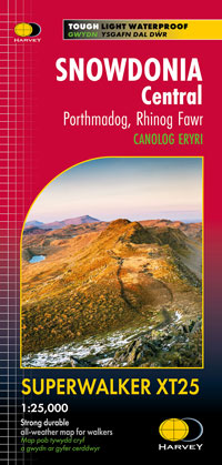
Snowdonia Central: Porthmadog, Rhinog Fawr
£15.50