Yorkshire Dales South West


£11.50
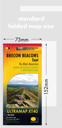
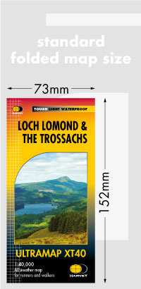
Covers a large area yet is handily compact. Pocket perfect! Detailed map for runners and walkers of the south western part of the Yorkshire Dales National Park at the magic scale of 1:40,000. Features the Yorkshire Three Peaks: Whernside, Ingleborough and Pen-y-ghent. Includes Kirkby Lonsdale, Dent and Hawes. Click here to view map coverage Fully detailed genuine HARVEY mapping
Includes Rights of Way
Use without a map case: tough and 100% waterproof
Opens directly to either side of the sheet For more information on the Ultramap click here
Orders placed and accepted before 12pm Monday – Friday will be dispatched the same day. Orders placed after 12pm are dispatched the next business day.
To UK addresses:
Standard Royal Mail 48 Tracked shipping is FREE for ALL orders over £20. For orders less than £20, delivery charge for Royal Mail 48 Tracked is £2.50. If you require a faster shipping service please select Royal Mail 24 Tracked at checkout.
EU, USA and Rest of the World:
Orders are dispatched by Royal Mail International Tracked service.
Prices start at £7.95 to EU countries, £13.95 to the USA and £8.95 to all other countries.
For full delivery and returns information view our Terms and Conditions page