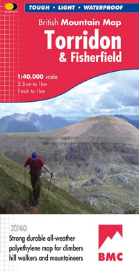
Torridon & Fisherfield

£18.50
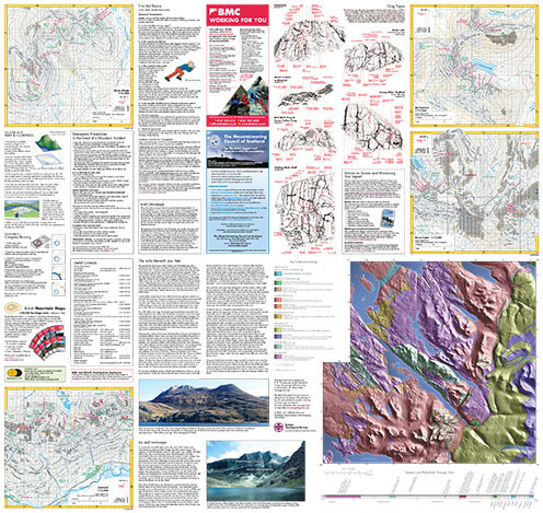
“HARVEY British Mountain Maps are a joy to use. The detail and accuracy make them my first choice when I am researching a route or just out on the hills for fun”. Peter Macfarlane, outdoor writer and photographer. Detailed map of the giants of Torridon and the remote hills of Fisherfield on one sheet at 1:40,000 scale. Summit enlargements of Beinn Alligin, Beinn Eighe, Liathach and An Teallach. Includes 18 Munros, 12 Corbetts and 9 Grahams. Click here to view map coverage Tough, light, durable and 100% waterproof
Genuine original HARVEY mapping
Tried and tested by the British Mountaineering Council and Mountaineering Scotland For more information on the British Mountain Map click here
Orders placed and accepted before 12pm Monday – Friday will be dispatched the same day. Orders placed after 12pm are dispatched the next business day.
To UK addresses:
Standard Royal Mail 48 Tracked shipping is FREE for ALL orders over £20. For orders less than £20, delivery charge for Royal Mail 48 Tracked is £2.50. If you require a faster shipping service please select Royal Mail 24 Tracked at checkout.
EU, USA and Rest of the World:
Orders are dispatched by Royal Mail International Tracked service.
Prices start at £7.95 to EU countries, £13.95 to the USA and £8.95 to all other countries.
For full delivery and returns information view our Terms and Conditions page