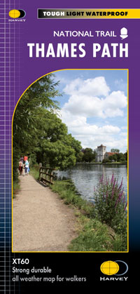
Thames Path
£15.95
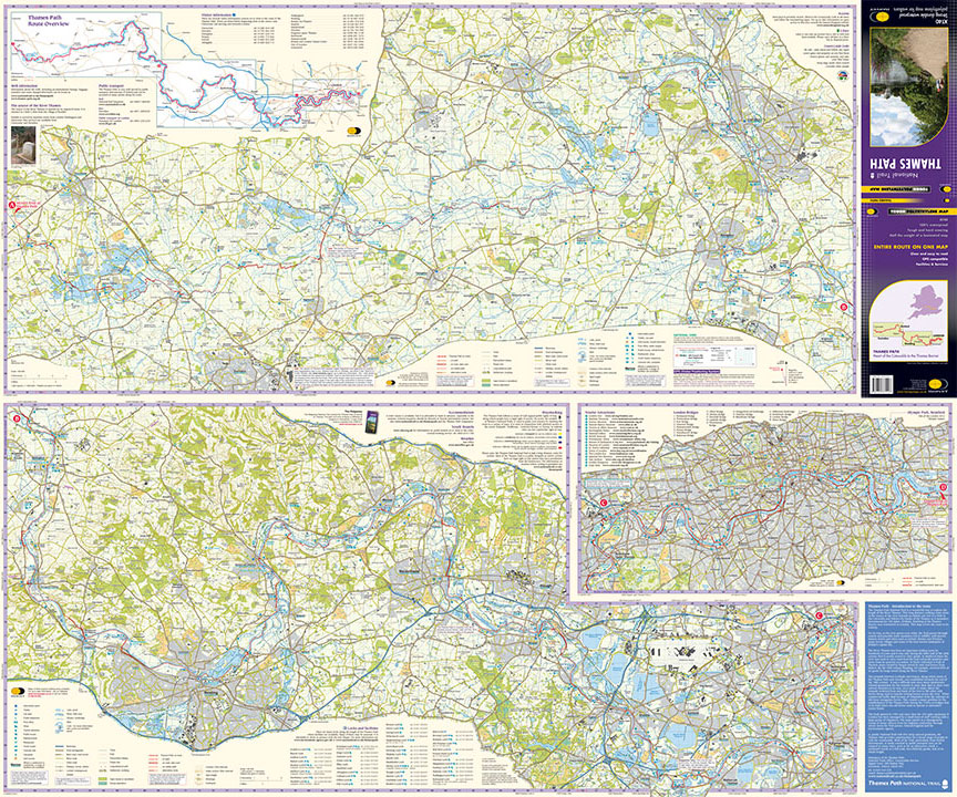
Entire route on one map The Thames Path is a National Trail. It follows the banks of the river for 294km (183 miles) from the flood barrier at Woolwich in South East London to Kemble in Gloucestershire. It is a long distance walking route, most of it cannot be cycled. The Trail passes through water meadows, historic towns & lovely villages. The path is flat which makes for easy walking. Jos Joslin National Trails Manager (Marketing & Projects) said of this map, “really beneficial to have the whole length of the Thames Path upstream of London on just one map. Clear mapping and useful information makes this a very practical map”. Click here to view the route Tough, light, durable and 100% waterproof
Route clearly marked For more information on the Trail Map click here
Orders placed and accepted before 12pm Monday – Friday will be dispatched the same day. Orders placed after 12pm are dispatched the next business day.
To UK addresses:
Standard Royal Mail 48 Tracked shipping is FREE for ALL orders over £20. For orders less than £20, delivery charge for Royal Mail 48 Tracked is £2.50. If you require a faster shipping service please select Royal Mail 24 Tracked at checkout.
EU, USA and Rest of the World:
Orders are dispatched by Royal Mail International Tracked service.
Prices start at £7.95 to EU countries, £13.95 to the USA and £8.95 to all other countries.
For full delivery and returns information view our Terms and Conditions page