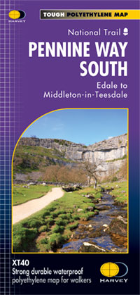
Pennine Way South
£17.50
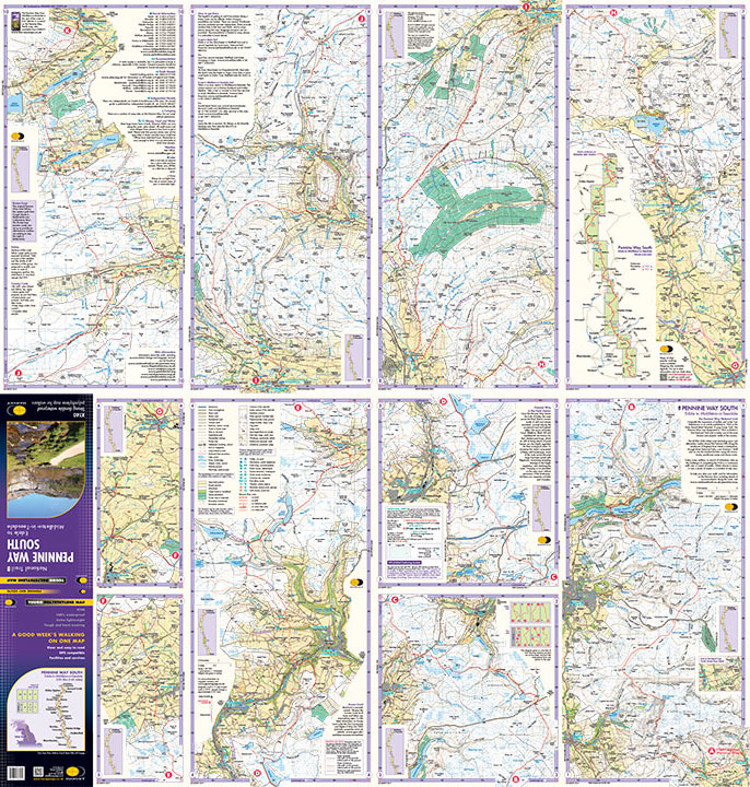
The whole of the Pennine Way on just 2 maps! Pennine Way South map covers the route from Edale to Middleton-in-Teesdale. The Pennine Way is a National Trail. It follows the backbone of England from the Peak District to the Scottish borders. It is one of the toughest UK long distance footpaths, and forms part of the European Footpath Network. The Pennine Way was Britain’s first National Trail, opened in 1965. Just 2 HARVEY maps cover the whole 431km (268 miles) route. Each starts and finishes near public transport, so no hassle with getting lifts. Each also contains lots of information and useful telephone numbers to assist the walker with planning. Click here to view the route Tough, light, durable and 100% waterproof
Includes Rights of Way
Genuine original HARVEY mapping
Route clearly marked For more information on the Trail Map click here
Orders placed and accepted before 12pm Monday – Friday will be dispatched the same day. Orders placed after 12pm are dispatched the next business day.
To UK addresses:
Standard Royal Mail 48 Tracked shipping is FREE for ALL orders over £20. For orders less than £20, delivery charge for Royal Mail 48 Tracked is £2.50. If you require a faster shipping service please select Royal Mail 24 Tracked at checkout.
EU, USA and Rest of the World:
Orders are dispatched by Royal Mail International Tracked service.
Prices start at £7.95 to EU countries, £13.95 to the USA and £8.95 to all other countries.
For full delivery and returns information view our Terms and Conditions page