Pennine Bridleway

£17.50
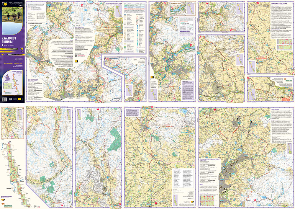
Entire route on one map – 330km (205 miles) The Pennine Bridleway is the only National Trail purpose built for horse riders, mountain bikers and walkers. >!!This map covers the entire route from Derbyshire to Cumbria – Middleton Top to Ravenstonedale.>!! The Trail for mountain bikers starts at Middleton Top near Matlock whereas horse riders can join at Hartington Station. The Trail intersects the limestone plateau of the White Peak, winding through scenic dales before climbing to the more challenging terrain of the Dark Peak. Moving north, from the top of the Mary Towneley Loop, the Trail heads across the hills into the Ribble Valley before reaching the stunning limestone landscape of the Yorkshire Dales and the Settle Loop. The route continues through the Mallerstang valley before finishing in the village of Ravenstonedale in Cumbria. Though the route is particularly designed for use by horse riders and cyclists, it can be used by walkers too. The map gives useful information on accommodation, planning, horsebox parking, places to visit, and so forth. Click here to view the route Tough, light, durable and 100% waterproof
Includes Rights of Way
Genuine original HARVEY mapping
Route clearly marked For more information on the Trail Map click here  >!!
>!!
Orders placed and accepted before 12pm Monday – Friday will be dispatched the same day. Orders placed after 12pm are dispatched the next business day.
To UK addresses:
Standard Royal Mail 48 Tracked shipping is FREE for ALL orders over £20. For orders less than £20, delivery charge for Royal Mail 48 Tracked is £2.50. If you require a faster shipping service please select Royal Mail 24 Tracked at checkout.
EU, USA and Rest of the World:
Orders are dispatched by Royal Mail International Tracked service.
Prices start at £7.95 to EU countries, £13.95 to the USA and £8.95 to all other countries.
For full delivery and returns information view our Terms and Conditions page